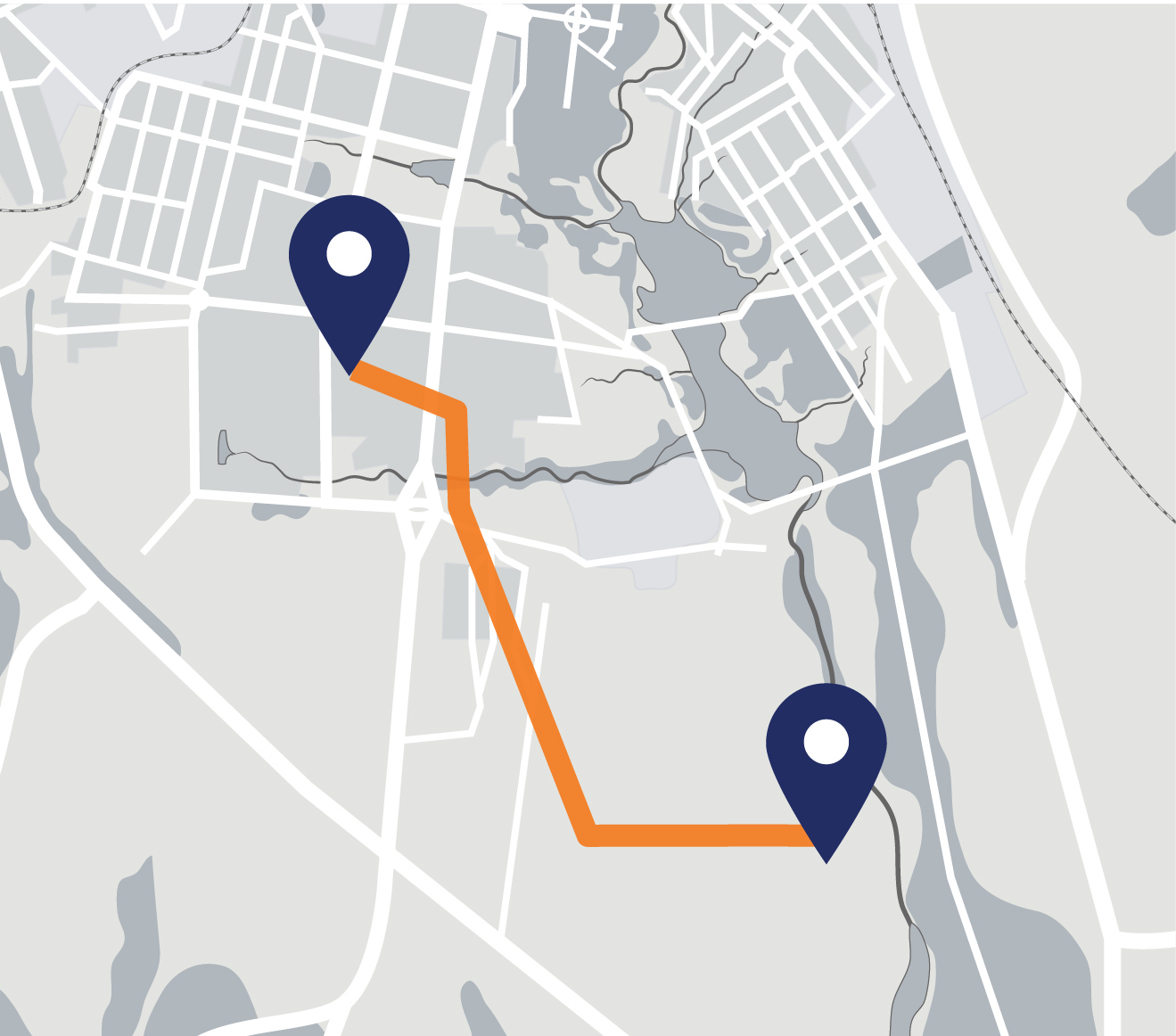
Constructing a new transmission line may seem as easy as drawing a straight line from one endpoint (substation) to another, but there’s more to it than that. Even though our substations are in fixed locations, deciding on the specific route between the three substations will involve landowner input, desktop and field studies, engineering and environmental analyses, and public feedback. When determining the route, the project team will consider a variety of factors such as community impacts, cost, landowner feedback, constructability, future needs, and more.
Explore our interactive map below, then learn about our routing process.
Drop a pin to add a comment about the proposed route.
Routing process
We’ll hold meetings with agencies, landowners, and the public throughout the routing process to gather feedback and information. This input will be helpful for our project team when developing potential routes for the transmission line.
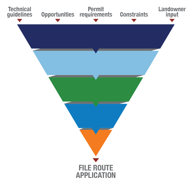
After carefully considering the input and evaluating opportunities, constraints, permit requirements, and technical guidelines, the project team will identify and file a proposed route in both North Dakota and South Dakota.
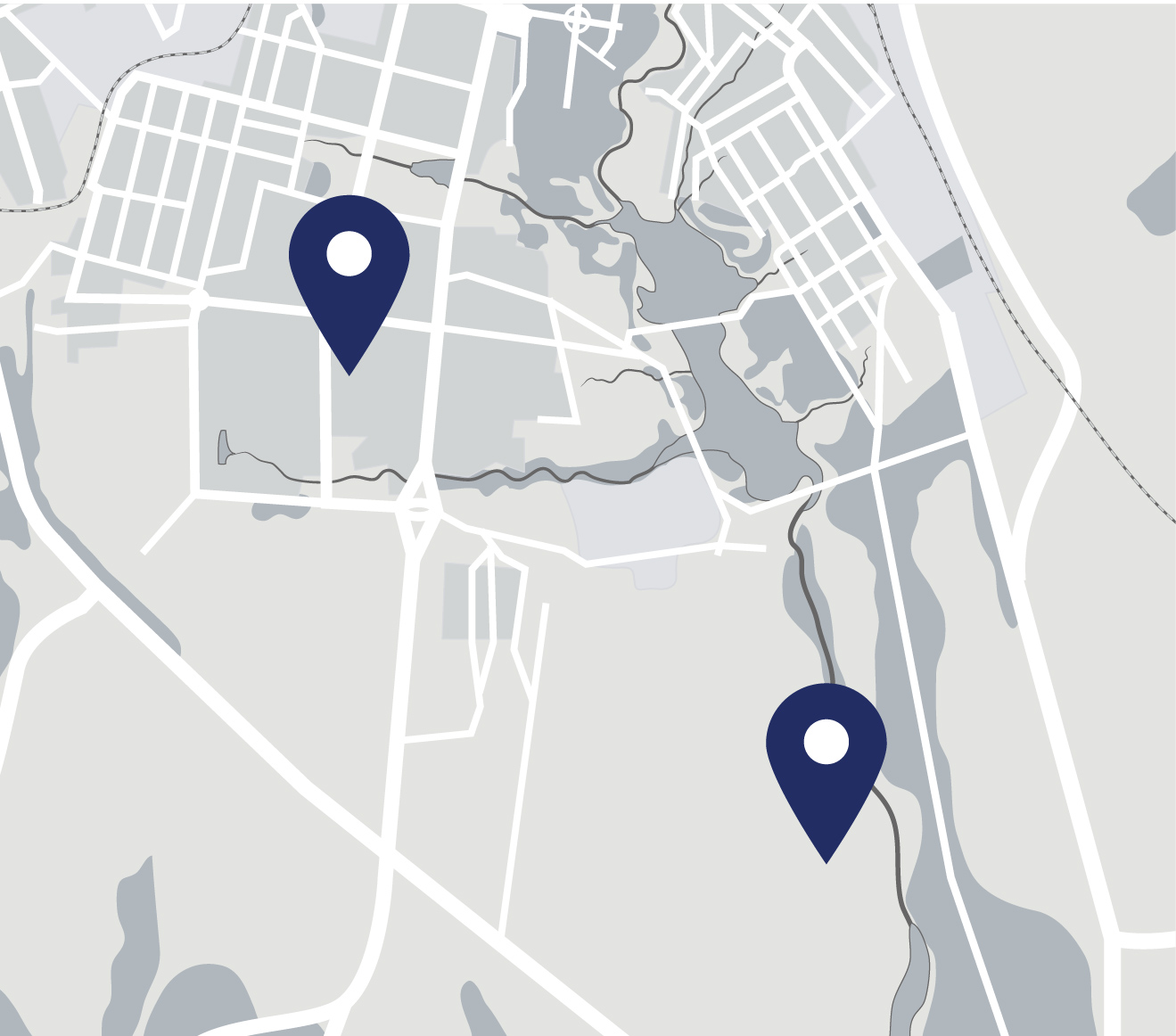
STUDY AREA
We identified a large study area that contains all three substations.
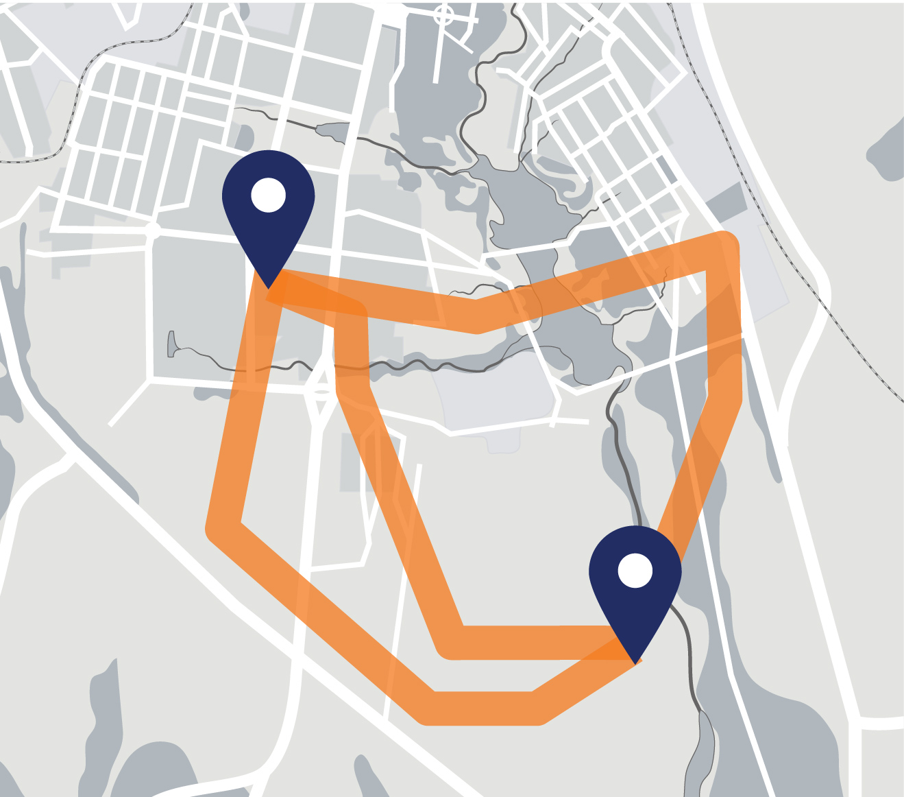
POTENTIAL PROJECT CORRIDORS
We then analyze the study area to identify project corridors where construction may be possible.
PUBLIC OPEN HOUSE
Community input provides information on opportunities and challenges with the project corridors.
ROUTE ALTERNATIVES
Using community feedback, we’ll continue narrowing the project corridors and developing a number of potential routes.
PUBLIC OPEN HOUSE
A second series of open houses provides the opportunity for additional community feedback on route alternatives.
PROPOSED ROUTE
We’ll select a proposed route and submit it to the North Dakota Public Service Commission and the South Dakota Public Utilities Commission, who will review and hold public hearings before making decisions on the route permits.